Our survey program is a full service professional land surveying practice which serves the following:
- Tribes
- Government
- Corporations
- Private Clients
We specialize in:
- Boundary surveys and subdivisions
- ANCSA Surveys
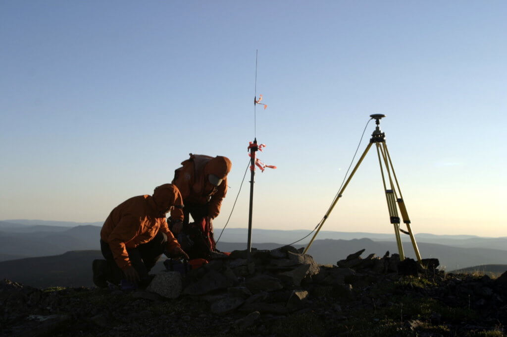
- Control and GPS surveys
- Topographic / engineering surveys
History
Since 2007 we have also been providing high resolution aerial photography to clients statewide, with products ranging from orthophotography to highly detailed digital terrain models and point cloud surface mapping, similar to LIDAR. TCC surveyors were the first worldwide to employ non metric cameras on low altitude platforms to double the precision and resolution currently available through traditional aerial photography, at a vastly reduced price. in boundary surveys and subdivisions, ANCSA surveys, control and GPS surveys, and topographic/engineering surveys.
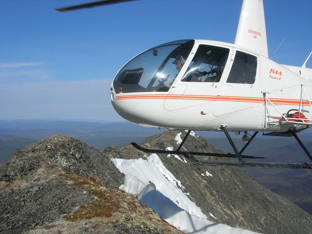
Our program, created in 1993, works primarily in bush Alaska, helping rural villages through employment and training as well as assisting with local survey needs. The program is funded entirely through contracting of professional survey services by government and corporate clients.