Quick Facts
- Pronounced (GRAY-leeng)
- Current Population 178 (2012 Alaska Department of Labor Estimate)
- Legislative Districts (link to State Legislature page):
- Senate District S
- House District 38
- Judicial District 4
- Latitude: 62.9036
- Longitude: -160.0647
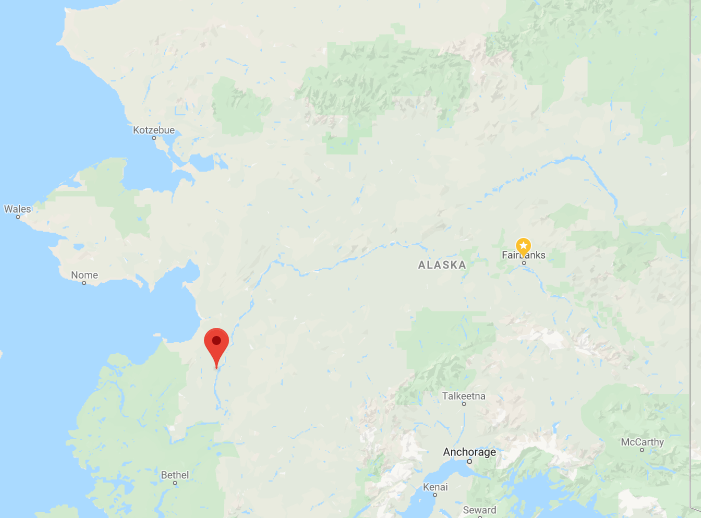
Location
Grayling is located in Interior Alaska on the west bank of the Yukon River, east of the Nulato Hills. It is 18 air miles north of Anvik.
Climate
The climate of Grayling is continental, with long, cold winters and relatively warm summers. Temperature extremes range between -60 to 87 °F. Annual snowfall averages 110 inches, with 21 inches of total precipitation. The Yukon River is ice-free from June through October.
History
In 1900, the U.S. Revenue steamer Nunivak reported 75 inhabitants, a store, and a large woodyard to supply steamers. Between 1962 and 1966, 25 families moved from Holikachuk on the Innoko River to Grayling. Holikachuk was prone to annual spring flooding, and low water levels made the return trip from Yukon fish camps each year difficult. The city government was incorporated in 1969.
Culture
The population of Grayling is comprised of Holikachuk and Athabascan Indians. Subsistence activities are important to villagers’ livelihoods.
Community profile data provided by the State of Alaska Department of Commerce, Community and Economic Development.